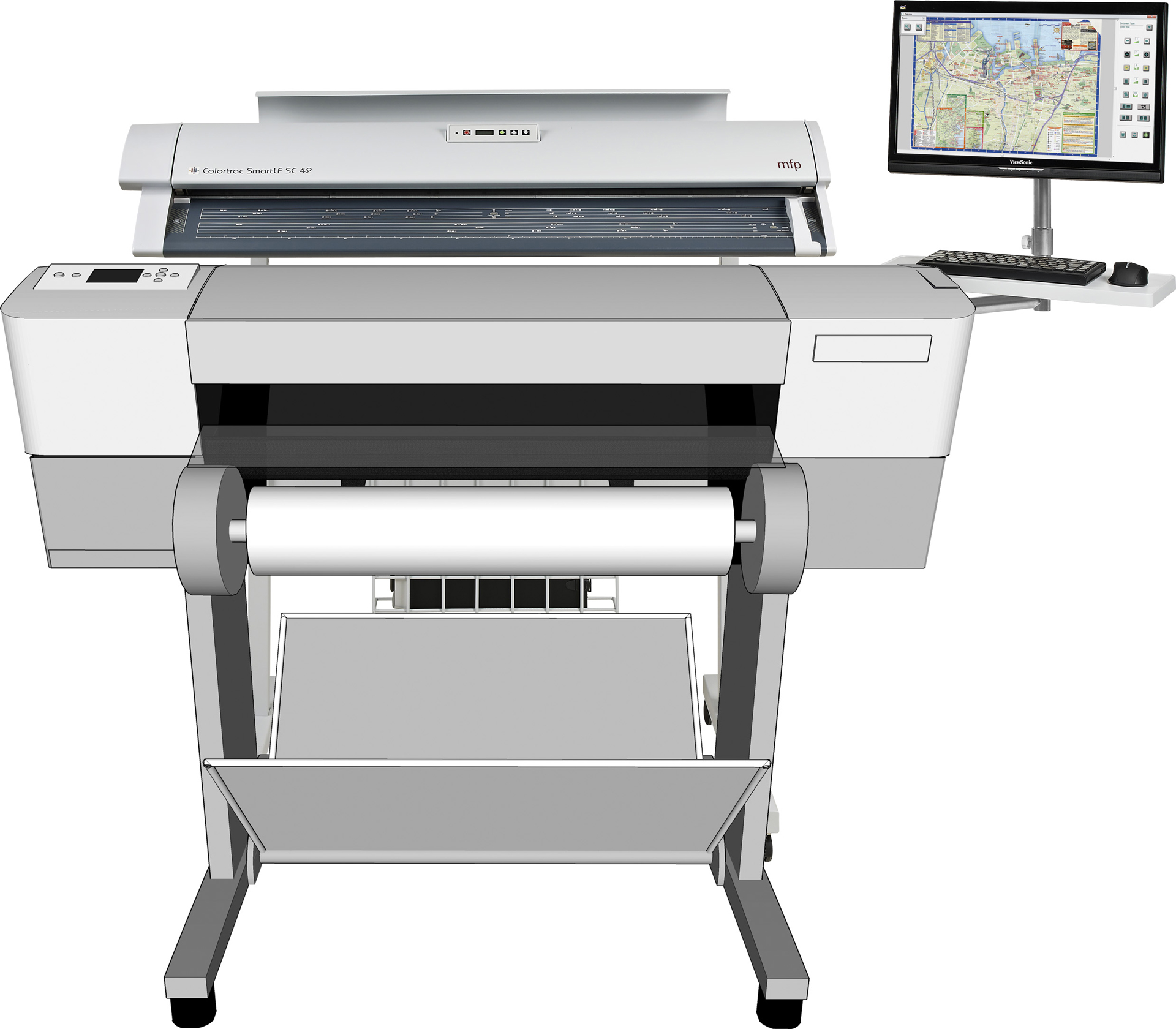
GEOGRAPHIC INFORMATION SYSTEM (GIS)
") Peucco Geographic Information System (GIS) allows the user to graphically display data that can be analysed, queried, interpreted to reveal trends
and events.
Our GIS Suite empowers you to collect, process, analyze and understand raw geospatial data, and ultimately deliver usable information. This includes
IMAGINE Professional, IMAGINE Easytrace, IMAGINE Vector, IMAGINE Enterprise Loader, IMAGINE AutoSync, IMAGINE DeltaCue, IMAGINE NITF,
IMAGINE Radar Interpreter, IMAGINE StereoSAR DEM, IMAGINE OrthoRadar, IMAGINE VirtualGIS, Stereo Analyst for ERDAS IMAGINE & ER Mapper,
IMAGINE Photogrammetry - [LPS Core, LPS Stereo & eATE] IMAGINE Terrain Editor - [LPS Terrain Editor & LPS Stereo],
ImageEqualizer, PRO600 CART, PRO600 DTM, GeoMedia Professional, Geomedia Parcel Manager, Geomedia Public Works, Geomedia Fusion,
Geomedia Transaction Manager, Geomedia GIToolkit & Geomedia Feature Topographer and a server license ERDAS Apollo Essentials.
Peucco Geographic Information System (GIS) allows the user to graphically display data that can be analysed, queried, interpreted to reveal trends
and events.
Our GIS Suite empowers you to collect, process, analyze and understand raw geospatial data, and ultimately deliver usable information. This includes
IMAGINE Professional, IMAGINE Easytrace, IMAGINE Vector, IMAGINE Enterprise Loader, IMAGINE AutoSync, IMAGINE DeltaCue, IMAGINE NITF,
IMAGINE Radar Interpreter, IMAGINE StereoSAR DEM, IMAGINE OrthoRadar, IMAGINE VirtualGIS, Stereo Analyst for ERDAS IMAGINE & ER Mapper,
IMAGINE Photogrammetry - [LPS Core, LPS Stereo & eATE] IMAGINE Terrain Editor - [LPS Terrain Editor & LPS Stereo],
ImageEqualizer, PRO600 CART, PRO600 DTM, GeoMedia Professional, Geomedia Parcel Manager, Geomedia Public Works, Geomedia Fusion,
Geomedia Transaction Manager, Geomedia GIToolkit & Geomedia Feature Topographer and a server license ERDAS Apollo Essentials.
GeoMedia® is a powerful, flexible GIS management platform that lets you aggregate data from a variety of sources and analyze them in unison to
extract clear, actionable information. It provides simultaneous access to geospatial data in almost any form, uniting them in a single map view
for efficient processing, analysis, presentation, and sharing. In addition, GeoMedia has specialized functionality that makes it ideal for
extracting information from an array of ever-changing data and supporting smarter decisions.
FEATURES
- Provide Meaningful Business Intelligence - Combine geospatial resources to obtain clear understanding real-world scenarios.
- Deep Analysis - Powerful analysis coupled with intuitive workflows guide users through performing complex tasks.
- Smart Mapping and Visualization - Build and publish intelligent cartographic-quality maps and create interactive 2D and 3D web experiences.
Photos